Beginner's Guide to Reading Avalanche Bulletins for Non-Skiers
Avalanche bulletins aren't just for skiers. Here's how to read the danger rating, elevation bands, slope...

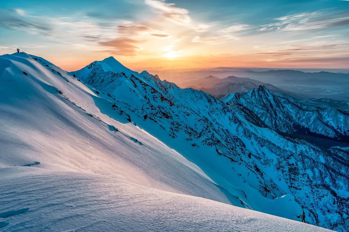
You can start a day in the valley under grey cloud, drive twenty minutes, and step out into falling snow. By lunchtime the same slope may be wet and gloppy. By late afternoon it can be refreezing into a hard, noisy crust. None of this is random. Alpine snow sits at the meeting point of altitude, sunlight, wind and temperature, and each of those factors can shift within a single day.
That is why a snow report is never the whole story. A report can tell you what fell, but the mountain decides what happened next. Understanding the main forces at work makes it easier to choose a route, time your descent and stay comfortable when conditions turn.
When you look at a snowpack, you are not looking at one material. You are looking at a stack of layers built by different weather events. New snow may sit on old crust. Wind may have packed a slab onto a sheltered slope. A warm afternoon may have melted the top few centimetres, and a cold night may have frozen them solid again.
Each layer responds differently to the next change in weather. A soft, dry surface can become dense and sticky after a few hours of sun. A firm morning crust can support your skis at nine and collapse into wet slush by two. The same mountain, on the same day, can offer very different snow on two slopes that are only a short traverse apart.
This is why vague statements about conditions are rarely useful. “The snow is good” means little without a place and a time. Good for what, and when? A north-facing gully at ten in the morning is a different world from a south-facing bowl at three in the afternoon.
Temperature generally falls as you climb, though not at a perfectly steady rate. That simple fact creates one of the most important boundaries in winter: the rain-snow line. A storm can deliver rain to the village, wet snow to the mid-station and dry snow to the ridge. Later, the lower slopes may melt while the upper slopes stay cold and preserved.
Elevation also affects how much snow has settled. Higher ground often holds more of what fell, and it holds it for longer. Lower slopes are more exposed to rain, thaw and the warming effect of the valley. On a mild day, the difference between the car park and the top of the lift can be the difference between walking on slush and skiing on winter snow.
Practical rule: check the elevation of the terrain you plan to use, not just the elevation of the resort village. A forecast for the valley floor is useful for the drive, but it may tell you almost nothing about the ridge. Look for a mountain forecast or a local snow report that gives conditions at several heights.
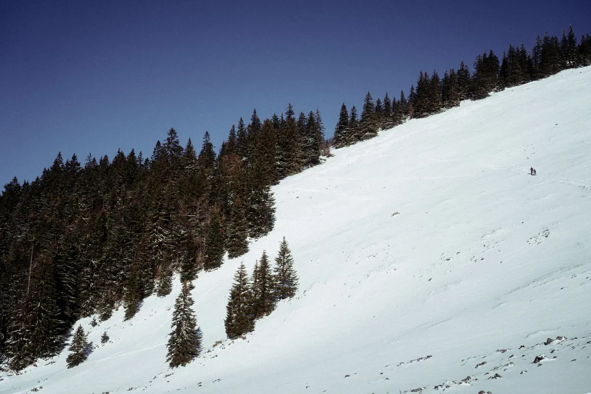
Slope aspect is the direction a slope faces, and it matters as much as altitude. A south-facing slope receives far more direct sun than a north-facing one. East-facing slopes catch morning light; west-facing slopes hold onto the afternoon sun. Shaded gullies and deep valleys can stay cold all day.
In practice, this means spring-like snow can exist in the middle of winter. A south-facing slope may soften early, turn creamy by midday and become heavy and wet by mid-afternoon. A north-facing slope at the same altitude may stay firm, dry and cold, especially if it is shaded by a ridge. East-facing slopes often have a brief window when the surface softens but has not yet become wet; west-facing slopes may be firm in the morning and soft late in the day.
Sun exposure also changes with the season and with cloud cover. A thin layer of high cloud can slow the process without stopping it. Broken cloud can create patchy conditions: one bowl softens while the next stays firm. When you are planning a line, ask which way it faces and where the sun will be at the time you plan to ski it.
Wind is the quiet editor of alpine snow. It can strip snow from exposed ridges and deposit it on sheltered slopes, creating drifts, wind slabs and cornices. A slope can change from soft powder to dense, wind-packed snow in a few hours, even if no new snow has fallen.
Wind also changes how snow feels underfoot. Strong wind breaks up flakes and packs them into a tighter surface. Exposed areas may become scoured and icy. Sheltered lee slopes may collect deep, soft drifts that look inviting but can be unstable. The surface texture is a clue: smooth, chalky patches, fresh drifts and sharp edges along ridges all suggest wind has been at work.
If the wind has been blowing, assume the snowpack is uneven. A route that was straightforward yesterday may now have a loaded slope on one side of a ridge and bare ice on the other. Carry a probe and keep an eye on the local avalanche bulletin, especially after wind has moved snow onto steep, sheltered slopes.
Temperature changes drive a daily rhythm on many alpine slopes. The sun warms the surface, meltwater moves through the top layers, and the snow becomes softer. Later, as the sun drops and the air cools, that water refreezes. The cycle can repeat day after day, building a firm crust that softens and hardens with the weather.
Rain complicates the picture. Rain adds water quickly, softens the surface and can make lower slopes heavy. A sudden drop in temperature after rain can freeze the surface into a hard crust. Inversions can also turn expectation upside down: cold air may pool in the valley while higher slopes sit in milder air.
Before you choose a line, run through a short set of questions. They will not give you a perfect forecast, but they will keep you from being surprised by the obvious.
On the mountain, watch for small signs: sinking boot tops in wet snow, a thin crust breaking under your skis, plumes of snow blowing off ridges, or surface water in the afternoon. These are not abstract weather notes. They are the mountain telling you what the next hour will feel like.
Start early if you want firm, fast snow. Choose sun-exposed slopes for softer turns later in the morning, and save shaded or high north-facing terrain for the middle of the day when other slopes turn wet. Carry a warm layer even when the valley feels mild, because the ridge can be colder and windier than the car park. Keep your plans flexible enough to change aspect, elevation or timing as the day warms and cools.
Alpine snow changes quickly because the mountain is not one place. It is many small climates stacked together. Read the elevation, the aspect, the sun, the wind and the temperature, and you will understand far more than a single number in a snow report can tell you.
Photo: Kanenori / Pixabay
Avalanche bulletins aren't just for skiers. Here's how to read the danger rating, elevation bands, slope...
Early-season snow reshapes Alpine village life fast — road crews, seasonal jobs, water reserves and old...
A practical guide to picking winter boots for icy, slushy alpine village streets — grip, insulation,...